


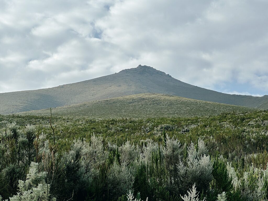
Standing at the base of Loolmalasin, the mountain’s jagged summit pierces the sky, promising a demanding climb with rewarding vistas.
Loolmalasin is a mountain in the Ngorongoro District, rising to 3682 meters above sea level. Its rugged slopes and high-altitude terrain attract trekkers seeking a serious challenge. The ascent offers a chance to experience Tanzania‘s remote highlands away from crowded parks.
Most climbers start early in the morning, as weather conditions can change quickly at this elevation. The trek takes around a half-day, with a moderate to high effort level. The key constraint is the altitude, which can cause fatigue if unprepared, so acclimatization is recommended.
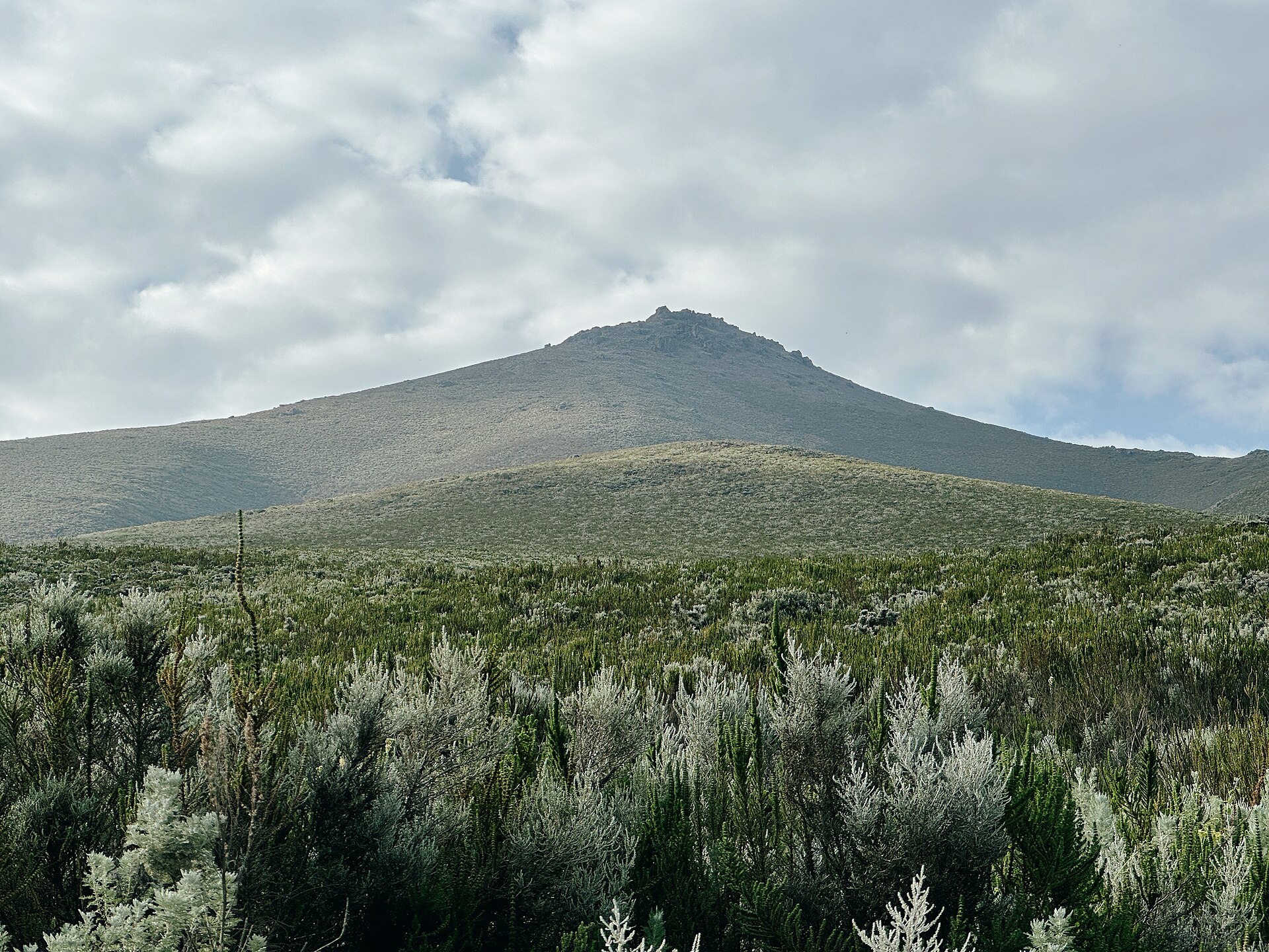
What to expect
- Feel the cool air and see the rocky, uneven trail winding upward through sparse vegetation.
- Experience the silence broken only by your footsteps and the occasional bird call.
- Watch the landscape shift from green highlands to exposed, rocky ridges near the summit.
- Feel the altitude pressure as you push toward the peak, with panoramic views opening as you ascend.
- Touch the rough, craggy rocks at the summit and look out over the distant plains and volcanic cones.
Is the climb worth the effort? For experienced hikers craving a high-altitude challenge, yes.
Core trekClimbing Loolmalasin demands a good level of fitness and a willingness to face altitude discomfort. The trail is steep and rocky, with weather that can turn quickly, so preparation is essential. The payoff is a sense of achievement and sweeping views over the Tanzanian highlands. Skip if unfit or seeking a relaxed day; this is a half-day effort for those ready for a physical test.
Loolmalasin Practical Details
| Cost | Verify current price against live source |
| Open season | Year-round, weather permitting |
| Duration | Approximately 4 hours round-trip |
| Getting there | Start from Ngorongoro District base, 2-3 hours from Arusha |
| Best timing | Early morning for cooler temperatures and clearer skies |
| Effort level | Moderate to high, suitable for fit hikers |
Climbing Mount Loolmalasin: A Core Trek for Experienced Hikers
Start your ascent early in the morning, around 6 AM, to avoid the midday heat and catch the mountain in softer light. The trail begins at the designated park entrance, where a modest entrance fee is payable, and the path quickly narrows into a steep, rocky track. As you gain altitude, the terrain shifts from loose gravel to solid volcanic rock, requiring careful footing. The first significant challenge comes at the 2-hour mark, where a series of switchbacks leads to a ridge with a clear view of the surrounding Ngorongoro landscape. Here, the air thins noticeably, so pace yourself and hydrate frequently.
Continue upward toward the summit, passing through patches of sparse vegetation and exposed volcanic formations. The final push involves a scramble over a rocky outcrop, where fixed ropes assist in the steeper sections. Reaching the peak at 3,682 meters offers a commanding view of the crater below and the distant Serengeti plains. Spend no more than 20 minutes at the top to conserve energy for the descent. Descend the same route, noting that the trail becomes more unstable after rain, so avoid the late afternoon if the weather looks uncertain. Finish back at the park gate before sunset, typically around 4 PM, to avoid descending in fading light.
Key Highlights of the Mount Loolmalasin Trek
The Ridge Viewpoint
At approximately two hours into the hike, the trail opens onto a ridge with a panoramic view of the Ngorongoro crater and the surrounding plains. This spot is ideal for a quick break and photo, with the crater’s rim directly below and the mountain’s volcanic cones framing the scene.
TipWalk the ridge counterclockwise so the sun is behind you, reducing glare in your photos and highlighting the crater’s contours.
The Volcanic Outcrop
Near the summit, a prominent rocky outcrop marks the final steep section. Its rough surface and fixed ropes make it the crux of the climb, demanding careful hand and foot placement.
TipUse the fixed ropes to your advantage by gripping them firmly and stepping onto the rocks with your heels, which offers better stability on the loose volcanic gravel.
The Summit Platform
The peak features a flat, rocky platform with a marker indicating the elevation. From here, you can see the crater floor below and the distant Serengeti, with the wind often strong enough to require a steady stance.
TipTime your summit visit for late morning when the wind is usually calmer, and the visibility is clearest for photography.
The Descent Trail
Descending the same route, the trail becomes more unstable, especially after rain. Loose gravel and exposed rocks require cautious footing, and the fixed ropes are especially helpful on the steeper sections.
TipDescend slowly and use your trekking poles to maintain balance, especially on the loose gravel sections, which can be deceptively slippery.
Essential Gear for Loolmalasin Trekking
- Lightweight rain jacket
The altitude of 3682 meters increases the chance of sudden rain or fog, especially in the early morning or late afternoon. - High-SPF sunscreen
The high elevation exposes you to stronger UV rays, which can cause sunburn even on cloudy days. - Sturdy hiking socks
The trail involves uneven terrain and rocky sections that demand good foot protection to prevent blisters. - Hat with brim
Protection from direct sun exposure during the ascent and at the summit, where there is little shade. - Personal water supply
The trail is remote, and there are no water refilling points along the 12-mile round trip; carry at least 2 liters.
Getting to Loolmalasin from Arusha
The trailhead is approximately 70 miles from Arusha, with a typical drive taking around 2.5 hours depending on road conditions.
- Private 4WD vehicle
Hire a local driver who knows the roughest sections of the route; negotiate a flat rate for the round trip to avoid surprises. - Shared minibus
Book a seat early at the Arusha bus station; confirm the departure time and ensure the vehicle is suitable for mountain access. - Tour operator transfer
Choose a reputable operator with a dedicated vehicle for mountain trips; verify their safety record and include the return in the booking.
Risks and How to Avoid Them
- Unmarked trail sections that can cause disorientation
Use a GPS device or offline maps; stick to the main trail and avoid shortcuts. - Sudden weather changes at high altitude
Start early in the morning; check weather forecasts before departure and be prepared to turn back if conditions worsen. - Unregulated guides or unofficial guides offering assistance
Hire only licensed guides from recognized agencies; avoid accepting help from unverified individuals. - Altitude sickness for those unacclimated
Ascend slowly; spend a night at a lower elevation if possible, and carry medication for symptoms.
Expert Advice: Timing Your Ascent
Begin the hike at dawn to avoid afternoon clouds and potential rain. The trail becomes more slippery after midday, especially on rocky sections near the summit. Carry a headlamp if you plan to descend after sunset.
Loolmalasin Activity FAQ
1What is the best time of day to start the hike up Loolmalasin?
Begin early in the morning around sunrise to avoid afternoon clouds and high winds. Starting at dawn ensures clearer views and cooler temperatures for the ascent.
2How does weather affect the trail conditions on Loolmalasin?
Cloud cover can obscure the summit and reduce visibility, especially after midday. Rain can make the trail slippery and dangerous, so check local forecasts before starting and consider postponing if heavy rain is expected.
3Is it feasible to hike Loolmalasin alone or should I hire a guide?
Solo hiking is possible if you are experienced and physically fit, but hiring a guide provides safety and local knowledge, especially for navigation and altitude acclimatization. For first-timers or those unfamiliar with high-altitude hikes, a guide is strongly recommended.
4What should I do if the weather turns bad during the ascent?
If clouds roll in or visibility drops significantly, descend immediately to avoid getting lost or caught in dangerous conditions. Always carry a GPS device or map, and do not push on if conditions worsen.
5Are there age or fitness restrictions for climbing Loolmalasin?
There are no official age limits, but the trail demands good physical condition and stamina. Avoid attempting the climb if you have health issues or are not accustomed to high-altitude trekking, as fatigue and altitude sickness become risks.
6Are there any restrictions on photography or drone use during the hike?
Photography is permitted throughout the trail, but avoid taking photos inside any protected areas or near local villages without permission. Drone use is generally discouraged due to safety concerns and local regulations, so weigh your options based on your equipment and respect for local customs.
After the Hike
Head to a nearby village for a meal of local grilled meats and fresh vegetables. Avoid rushing straight to your next destination; take time to hydrate and rest to recover from the altitude and exertion.
Photos via Unsplash and Wikimedia Commons.
Some links on this page are affiliate links. We may earn a small commission at no extra cost to you when you book through them.