


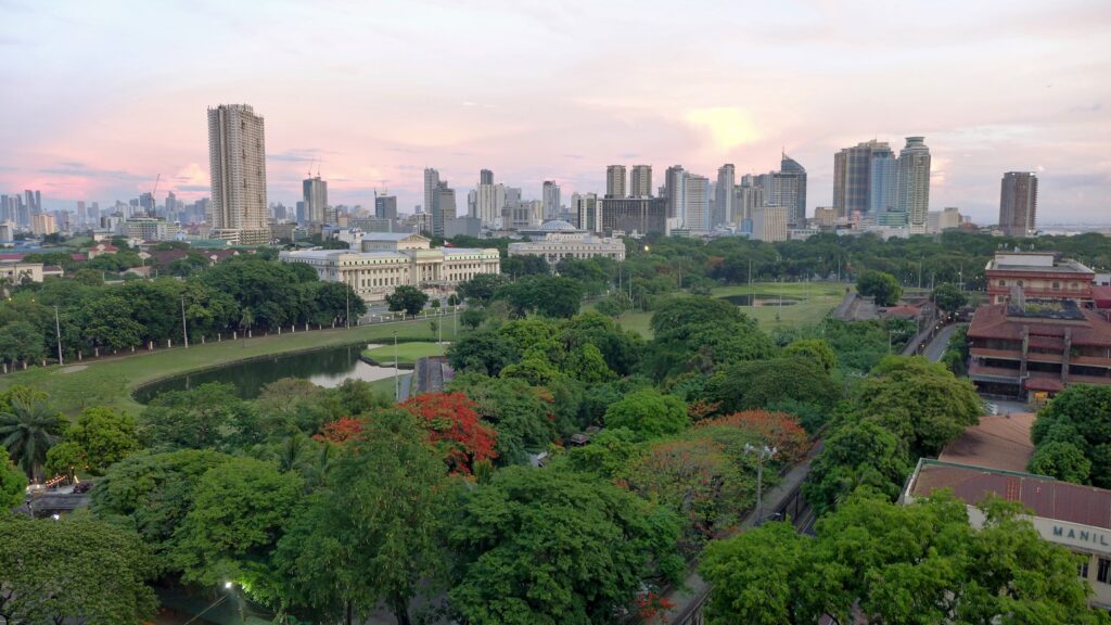
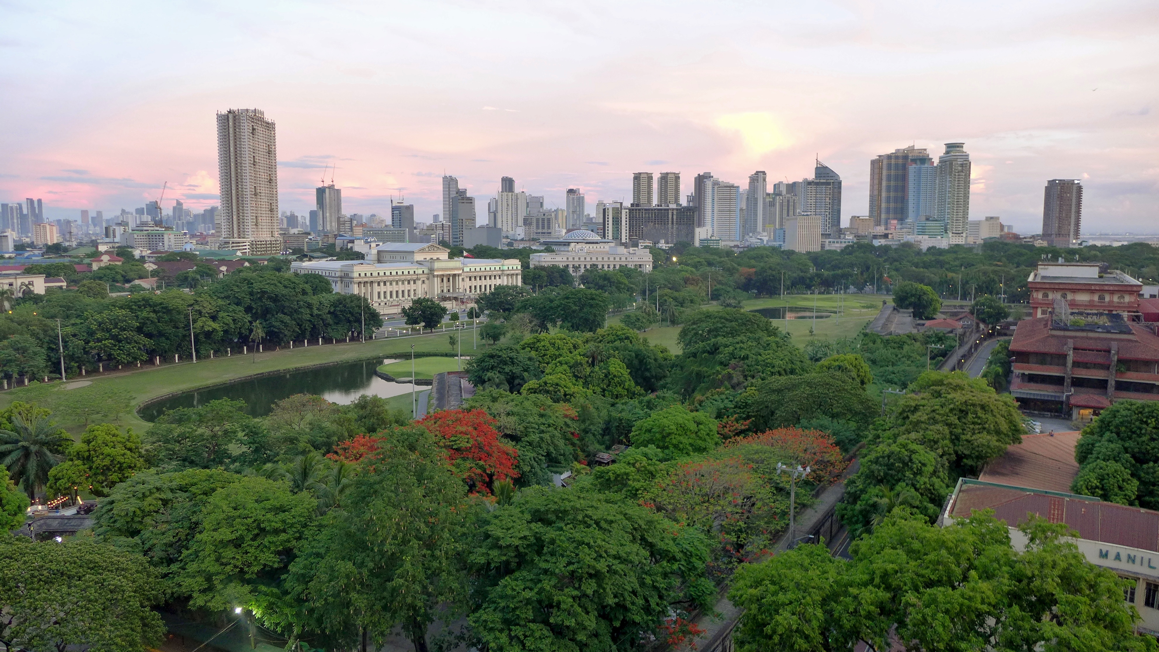
The Philippines stretches across the western Pacific, shaped by its island geography and shifting weather patterns.
The Philippines is an archipelago of more than 7,600 islands in the western Pacific Ocean, located east of Vietnam and north of Indonesia. It sits at the crossroads of the South China Sea, Celebes Sea, and Sulu Sea, making it a major maritime hub in Southeast Asia.
The country’s geography varies dramatically from east to west. The eastern coasts face frequent typhoons and heavy rains, while the western coasts lie in a partial rain shadow, creating distinct climate zones and terrain that shift from rugged mountains to lowland plains and coastal mangroves. This contrast shapes travel conditions and local environments across the islands.
Key takeaways
- The Philippines is an archipelago of over 7,600 islands in the western Pacific Ocean.
- The eastern coasts face direct typhoon hits from the Pacific, causing heavy rainfall and storms.
- The western coasts lie in a partial rain shadow, experiencing drier weather and calmer seas.
- Luzon, Visayas, and Mindanao are the three main island groups spanning north to south.
- The terrain ranges from mountainous eastern shores to flatter western plains and coastal areas.
- The country borders the South China Sea to the west and the Celebes and Sulu seas to the south.
Tap any pin to explore the region
Where is the Philippines on the map?

The Philippines is an archipelago located in Southeast Asia, positioned in the western Pacific Ocean. It lies east of Vietnam across the South China Sea and north of Indonesia across the Celebes and Sulu seas. The country consists of over 7,600 islands grouped mainly into three regions: Luzon in the north, Visayas in the center, and Mindanao in the south. This location places the Philippines at a strategic maritime crossroads between the Pacific Ocean and the South China Sea.
Stretching about 1,168 miles (1,880 km) north to south and roughly 854 miles (1,374 km) east to west, the Philippines covers a vast and diverse terrain. Its bounding coordinates range from 21.32°N in the north to 4.38°N in the south, and from 114.1°E in the west to 126.8°E in the east. This expansive range includes mountainous regions, extensive coastlines, dense forests, waterfalls, and numerous diving and snorkeling spots.
This geographic variety shapes travel logistics: eastern coasts face the Pacific and receive most typhoon impacts, while western coasts along the South China Sea sit in a relative rain shadow. Travelers should plan routes and timing carefully, favoring western islands during typhoon season. Major access points cluster on Luzon’s west coast near Manila and Cebu in the Visayas, with Mindanao offering southern gateways. Understanding this east-west weather divide helps optimize comfort and safety when exploring the country’s many islands.
| Capital city | Manila |
| Official language(s) | Filipino, English |
| Total area | 300,000 |
| Highest point | Mount Apo, 9,692 feet / 2,950 m (2,954 meters) |
| UTC timezone offset | UTC+8 |
The Philippines at a glance: Luzon, Visayas, Mindanao
| Region | North Luzon | Manila & Central Luzon | Visayas | Mindanao |
|---|---|---|---|---|
| Landscape | mountainous terrain, terraced highlands | urban lowlands, coastal plain | limestone islands, coral coastline | volcanic highlands, coastal lowlands |
| Nature | pine forests, rice terraces, river valleys | Manila Bay, Taal Volcano nearby | coral reefs, lagoons, surf breaks | rainforest, volcanic peaks |
| Highlights | Banaue Rice Terraces, Vigan, Sagada | Intramuros, Taal Volcano, Makati | Palawan, Bohol Chocolate Hills, Siargao | Mount Apo, Davao, Samal Island |
The Philippines’ three island groups: Luzon, Visayas, Mindanao
Northern Luzon
The Cordillera highlands and northern Luzon provinces including Ilocos, Cagayan Valley and Banaue.

The Cordillera mountains rise sharply here, cut with the centuries-old Banaue rice terraces and cooler than the tropical lowlands most of the year. The coastal towns of Vigan and the Ilocos region hold onto Spanish colonial architecture that feels distinct from Manila’s pace further south.
This region suits hikers and heritage travelers over beach-seekers: Baguio‘s hill-station cool, Sagada’s caves, and Banaue’s terraces come with real elevation and slower roads.
- Landscape: mountainous terrain, terraced highlands
- Nature: pine forests, rice terraces, river valleys
- Highlights: Banaue Rice Terraces, Vigan, Sagada
Travel tip
Book transport early during the cool December to February season, when Baguio fills with domestic holiday travelers.
Manila & Central Luzon
Metro Manila and the surrounding central Luzon provinces, the country’s main gateway.

Manila anchors the country’s transport network and its history in one dense metro area, from the old walled city of Intramuros to Makati’s high-rises. Most international flights land here, and it functions as the hub for onward trips to the Visayas or Mindanao.
This is the practical entry point rather than the highlight: expect traffic and heat, and plan for it as a stopover or short cultural stay rather than the centerpiece of a trip.
- Landscape: urban lowlands, coastal plain
- Nature: Manila Bay, Taal Volcano nearby
- Highlights: Intramuros, Taal Volcano, Makati
Travel tip
Build in a buffer day around Manila for domestic flight delays before island-hopping onward to the Visayas or Mindanao.
The Visayas
The central island group including Cebu, Bohol, Palawan and Siargao, off northeastern Mindanao.

This scattered central archipelago holds most of the country’s beach and dive draws: Palawan’s limestone cliffs and lagoons, Bohol’s Chocolate Hills, and Cebu as the region’s transport hub. Siargao, technically off Mindanao’s northeastern coast rather than deep south, adds world-class surf on the Pacific side.
The Visayas fit almost any travel style, diving, surfing, beach time, or island-hopping, and carry the country’s best tourism infrastructure outside Manila.
- Landscape: limestone islands, coral coastline
- Nature: coral reefs, lagoons, surf breaks
- Highlights: Palawan, Bohol Chocolate Hills, Siargao
Travel tip
Check current PAGASA weather advisories before booking Siargao or Palawan trips during the June to November storm season, rather than assuming any one region is automatically safer.
Mindanao
The southern island of Mindanao, including Davao and Mount Apo.
Mindanao holds the country’s highest peak, Mount Apo at 2,954 m, along with Davao as its main city and gateway. The island sees far fewer foreign visitors than Luzon or the Visayas, and travel infrastructure is more concentrated around Davao itself.
This region rewards travelers with a specific goal, climbing Mount Apo, exploring Davao’s food scene, rather than open-ended island-hopping, and it’s worth checking current travel advisories for specific areas before planning a route.
- Landscape: volcanic highlands, coastal lowlands
- Nature: rainforest, volcanic peaks
- Highlights: Mount Apo, Davao, Samal Island
Travel tip
Base in Davao and arrange a licensed guide for any Mount Apo climb, since the trail requires permits and registered guiding.
Finding your way across the Philippine archipelago
The Philippines is an archipelago of over 7,600 islands spread across the western Pacific Ocean. Mountain ranges dominate major islands like Luzon and Mindanao, creating natural barriers that funnel movement along narrow coastal corridors or river valleys. The eastern coasts face the Pacific and take the brunt of typhoons, while the western coasts sit in a rain shadow, shaping settlement and transport routes. Island-hopping is essential, with major sea lanes connecting Luzon, Visayas, and Mindanao, but mountain passes and river crossings define overland travel within larger islands.
Travel flows mostly north to south along the western coasts of Luzon and Mindanao, where roads and ports link major cities. The Visayas form a cluster of mid-sized islands where ferry routes dominate, connecting Cebu, Bohol, and Panay. Eastern coasts see less overland travel due to rugged terrain and typhoon exposure. Multi-week itineraries often combine overland travel on the western corridors with fast ferries between island groups, balancing weather risk and terrain challenges.
- Luzon North → South corridor
Runs about 620 miles / 1,000 km down the western coast from Aparri to Manila and beyond. Travel time varies from 18 to 24 hours by road, following coastal plains and river valleys that avoid the mountainous interior and typhoon-exposed eastern coast. - Visayas island-hopping chain
Spans roughly 250 miles / 400 km connecting Cebu, Bohol, and Panay. Ferries dominate, crossing narrow straits that separate these islands. This route avoids steep interior terrain and leverages a cluster of mid-sized islands in the central archipelago. - Mindanao western coastal spine
Extends about 540 miles / 870 km from northern Surigao del Norte to Zamboanga City in the southwest. Roads hug the western lowlands, avoiding the rugged eastern mountains and typhoon-prone Pacific coast, linking key ports and cities along the sheltered Sulu Sea.
Philippines geography FAQs
1Where is the Philippines located geographically?
The Philippines sits in the western Pacific Ocean, east of Vietnam and north of Indonesia, forming part of Southeast Asia within the Pacific Ring of Fire.
2How far is it from Manila in Luzon to Davao in Mindanao?
The straight-line distance is about 640 miles / 1,030 km, but actual travel by land and ferry takes 2 to 3 days due to island-hopping and road terrain.
3Which coast of the Philippines faces the Pacific Ocean and why does it matter?
The eastern coasts of Luzon, Visayas, and Mindanao face the Pacific. These areas get direct typhoon hits annually, affecting travel reliability and route choices.
4How large is the Philippines compared to a U.S. state?
The Philippines covers roughly 120,000 square miles, about the size of Arizona, but spread across thousands of islands instead of one landmass.
5Which side is best to enter the Philippines to avoid typhoon disruptions?
Entering from the western ports or airports like Manila or Cebu minimizes typhoon impact since the western coasts lie in a partial rain shadow.
6What geographic changes occur when traveling from northern Luzon to southern Mindanao?
You cross multiple climate zones: from cooler mountainous north to tropical lowlands, passing through varying terrain from volcanic highlands to coastal plains.
7What distinguishes the Visayas from Luzon and Mindanao geographically?
Visayas is a cluster of medium-sized islands with many narrow straits, requiring frequent ferry travel, unlike the larger single islands of Luzon and Mindanao.
8What was the historical significance of natural borders in the Philippines?
Mountain ranges and seas historically limited movement, shaping distinct cultural regions and political centers before modern infrastructure connected the archipelago.
Hero image: Bahnfrend (CC BY-SA 4.0), via Wikimedia Commons. Other photos via Unsplash and Wikimedia Commons.